|
|
|
|
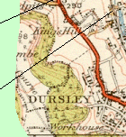
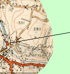
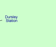
Route of the Dursley Branch Line |
 |
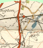
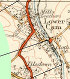
After curving
away southwards from the Gloucester to Bristol main line the route of the
Dursley branch essentially followed that of the River Cam through the valley.
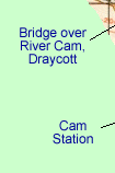
It crossed the river at Draycott and passed the cloth mills before reaching
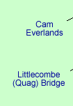
Cam Station. From Cam the line ran alongside the road at Everlands and crossed
the Cam to Kingshill Road at Littlecombe. After that it entered the vast
Lister's site before terminating at Dursley Station at the lower end of
Long Street.
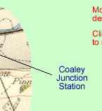
Click on the location descriptions to see more detail (or use the links
at the bottom of the page). |
|
|
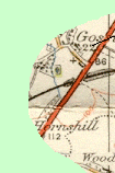
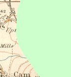
This
route map is taken from Sheet 103 (Stroud and Chepstow) of the 1919 Ordnance
Survey "Popular Edition"
1" to 1 mile map which was revised and reprinted in 1933. |
|
|
 |
|
 |
|
|